
Agricultural field in Stroumbi, Paphos
Stroumbi, Paphos
€24,500
23316
Overview
- Floor Ground floor
- Share 100
- Subcategory Agricultural
- Plot 5,017 m²
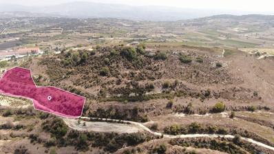
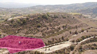
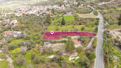
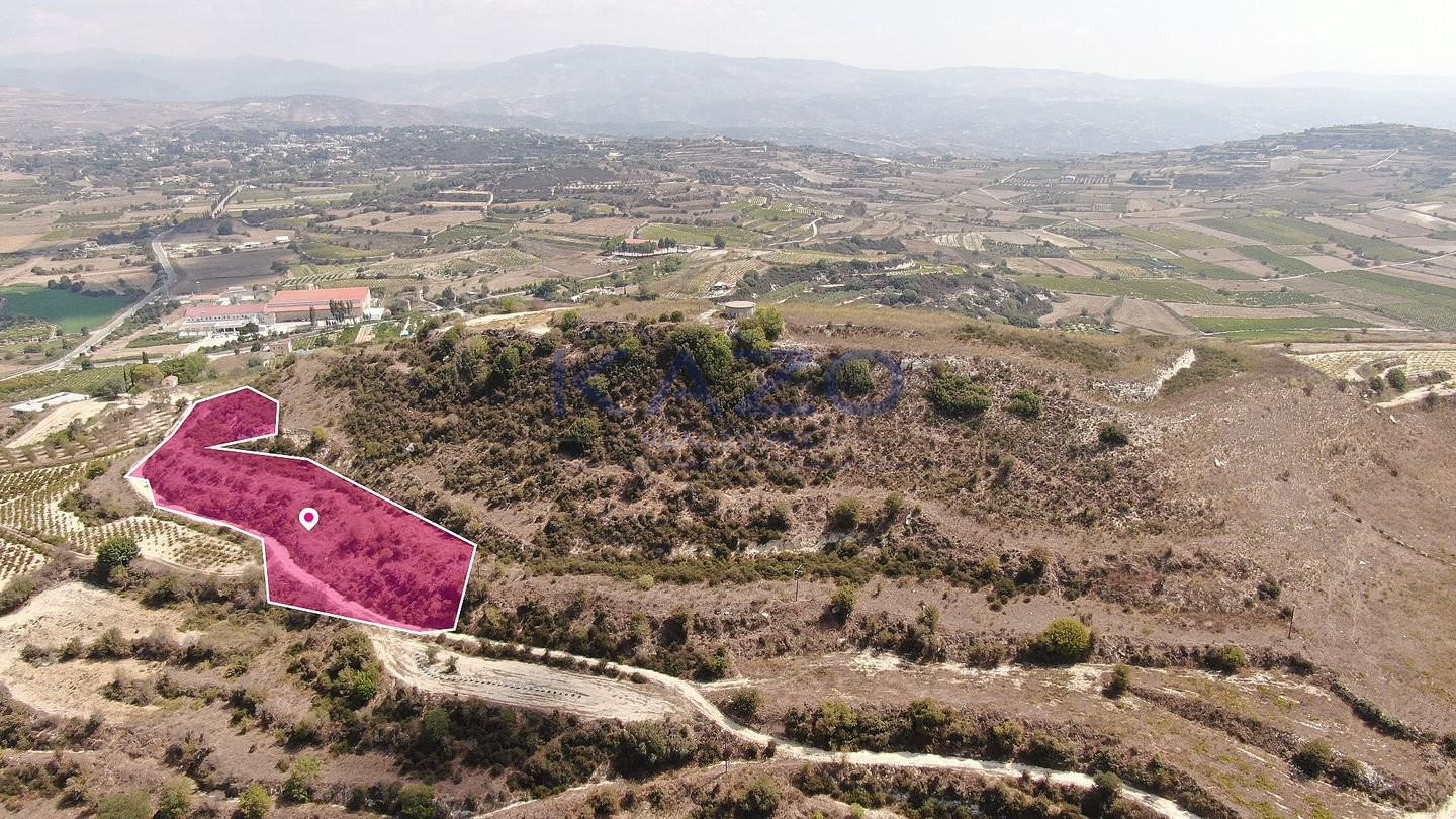
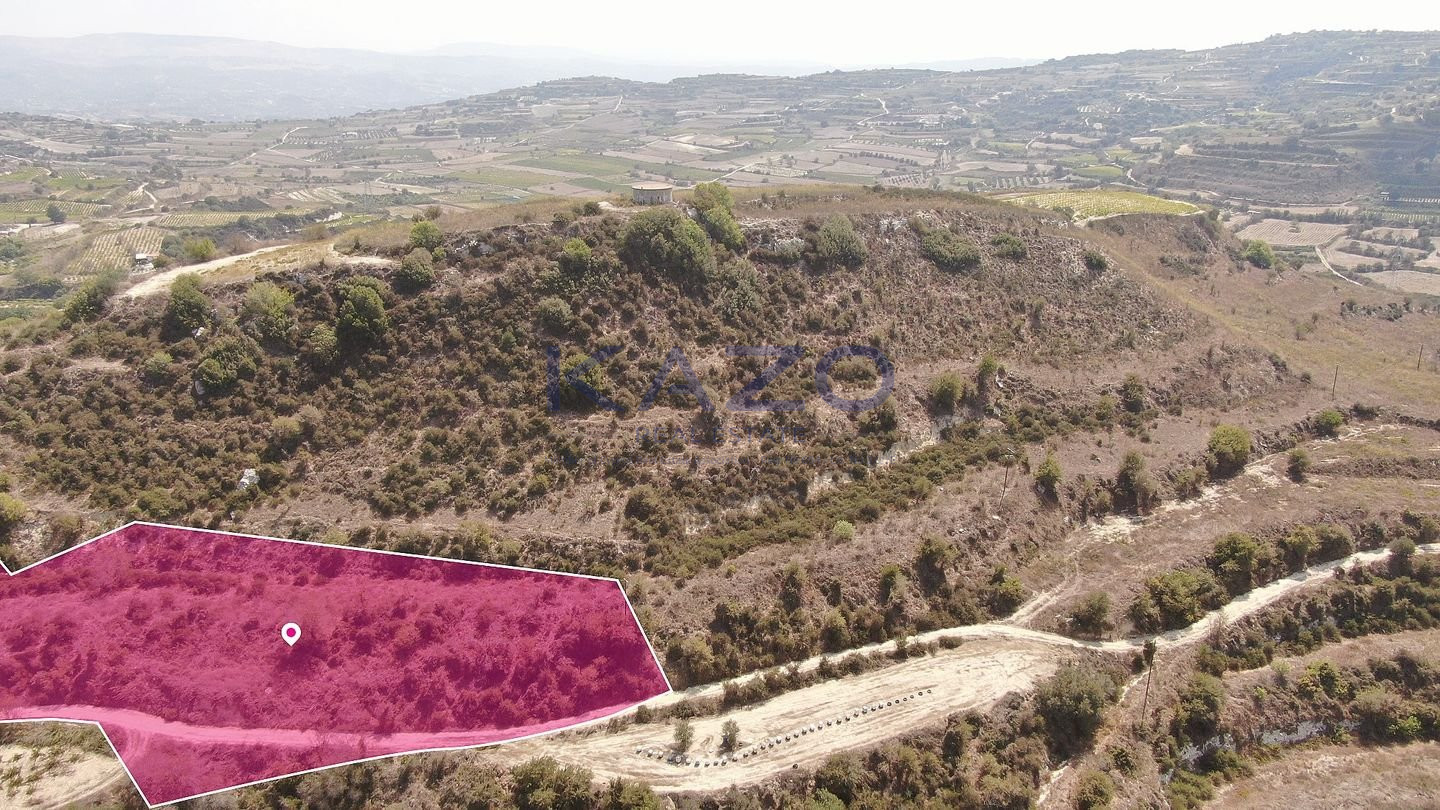
Agricultural field, extending to about 5,017sq.m. in total, located in the village of Stroumbi, in the district of Paphos.
The field has an irregular oblong shape, partly smooth sloping surface and partly sloping surface.
It is located approximately one kilometer south of the church in the community square, approximately 220 meters southeast of the community gas station and approximately 590 meters southwest of the S.O.D.AP factory.
The property falls within Urban Planning Zone Γ3 (Agricultural zone), with a building and coverage factor of 10% and permission for 2 floors (8.30m) of construction.
During the onsite inspection it was detected that within the land there is a wooden electricity pole with overhead power lines.
Location Coordinates: 34.87623378 32.48515386
Planning zones
| Zone | Cover factor | Build factor | Max height | Max floors | Affected percentage |
|---|---|---|---|---|---|
| Γ3 | 10% | 10% | 8 m | 2 | 100% |
All properties displayed at www.kazo.com.cy are subject to availability. Kazo Real Estates makes no warranties, undertakings or representations with respect to the content of the website (such as accuracy, quality, comprehensiveness etc of such content) and no liability or responsibility of any kind whatsoever is accepted by Kazo Real Estates concerning the information contained in this website.